 SoFla Guide Editors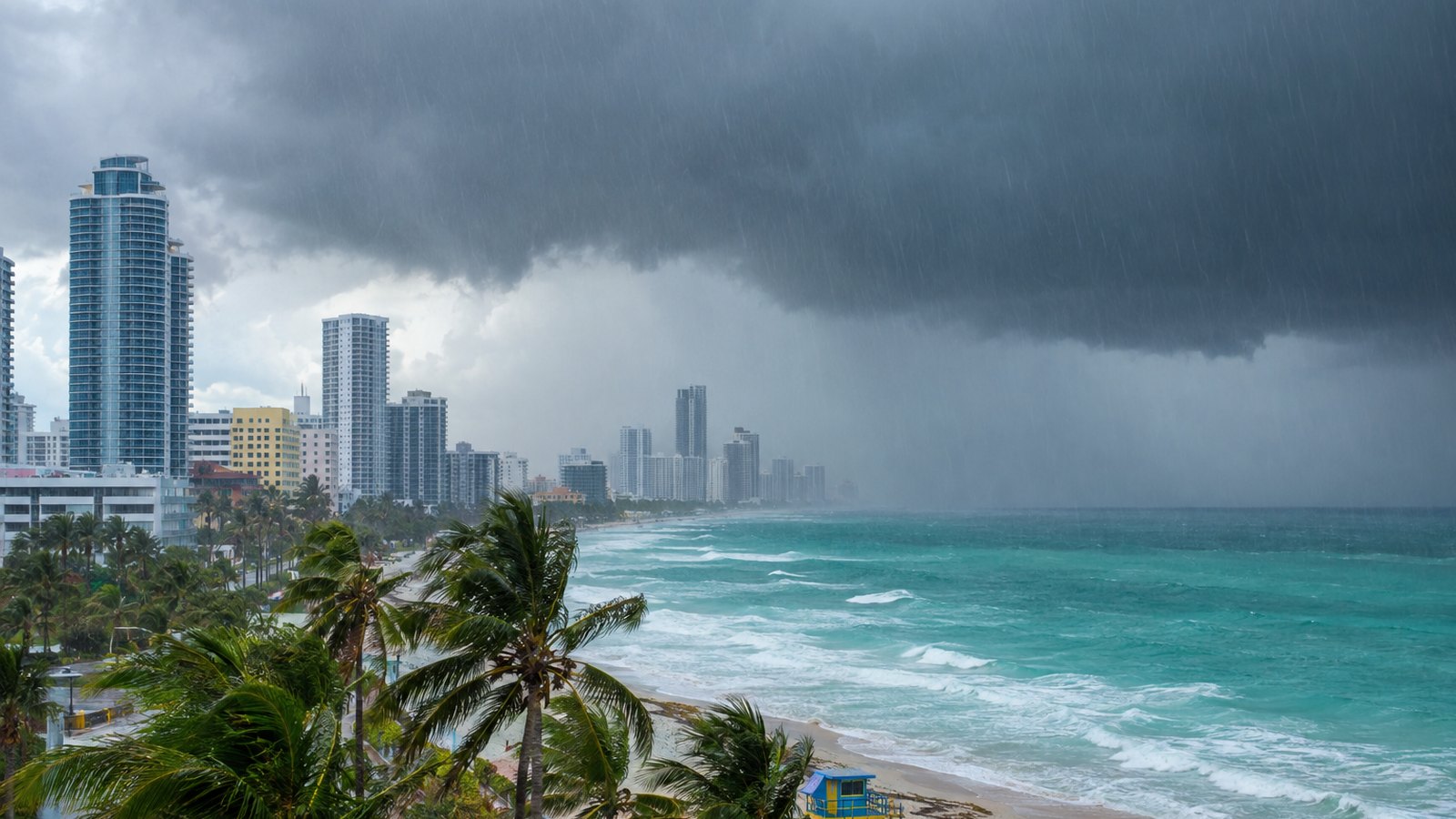
If you live anywhere from Coral Springs to Deerfield Beach, your Saturday afternoon just got a lot soggier. NBC 6 South Florida confirmed a Flash Flood Warning was issued for parts of Broward County on October 17, 2026, covering Coral Springs, Parkland, Lakeview, Deerfield Beach, Margate and Coconut Creek, in effect until 5:15 PM EDT. A cold front colliding with deep tropical moisture is the culprit, according to CBS Miami, and the heaviest hits are landing right along the east coast metro areas.
What’s happening right now
The warning came after a steady escalation of alerts through the afternoon. NWS Miami started with Flood Advisories for southern Broward and northern Miami-Dade at 1:36 PM EDT and northern Broward at 3:10 PM EDT, then bumped northern Broward and southeastern Palm Beach to a Flood Advisory at 3:59 PM EDT. By 4:19 PM EDT, that had become a Flash Flood Warning for northern Broward and southern Palm Beach, updated again at 4:44 PM EDT, both running until 5:15 PM EDT.
NWS Miami put it plainly in a post shared by NBC 6 South Florida: “Flash Flood Warning including Coral Springs FL, Parkland FL and Lakeview FL until 5:15 PM EDT.”
None of this came out of nowhere. On Friday, October 16, NBC 6 South Florida reported that a cold front moving toward South Florida would bring periods of rain and wind over the weekend, with the bulk of the rain arriving Saturday afternoon and flooding possible in low-lying and poor-drainage areas. WPLG Local 10 said the same day that numerous thunderstorms posed a flooding threat, with widespread storms expected to fire up between 1 and 3 PM Saturday and heavy rain chances lasting well into Saturday night.
CBS Miami issued a NEXT Weather Alert for Saturday evening, citing the front interacting with deep tropical moisture to bring widespread showers and thunderstorms. The Weather Prediction Center put coastal Miami-Dade, Broward and Palm Beach counties under a Level 2 of 4 (slight) risk for excessive rainfall, per CBS Miami, with the greatest risk of significant street flooding from early afternoon to late evening.
Which neighborhoods should worry most
The short answer: the coast, especially east of I-95. CBS Miami reported that Broward County east of I-95, from Wilton Manors north to Deerfield Beach and into Palm Beach, was identified as the most vulnerable area for street flooding. Multiple outlets and NWS flagged the Atlantic coastal corridor, including Fort Lauderdale, Boca Raton and West Palm Beach, as the highest-risk zone for the day.
Part of the problem is the ground itself. CBS Miami noted that recent rainfall had left soils saturated in some areas, which cuts their ability to soak up water and lowers the bar for street flooding, particularly in low-lying and poorly drained neighborhoods. Translation: the usual trouble spots are going to be trouble spots again, and probably sooner than you’d expect.
As for totals, CBS Miami reported widespread rainfall of 1 to 3 inches across the region through Sunday, with localized totals of 5 to 6 inches possible. Under a hyper-focused storm band, a very localized maximum of 7 to 8 inches is possible. That’s the kind of number that turns a parking lot into a pond.
So, should you go out?
If your plans involve northern Broward or coastal Palm Beach this afternoon and evening, this is a strong case for the couch. WPLG Local 10’s forecast had heavy rain chances continuing well into Saturday night, and CBS Miami’s window for the most significant street flooding runs from early afternoon to late evening. The 5:15 PM expiration on the current warning is not a promise that the rain stops then, just that NWS Miami will reassess.
Driving is where things get dicey. Low-lying and poor-drainage streets east of I-95 are the ones to avoid, per CBS Miami and NBC 6 South Florida. If you can’t see the road surface under standing water, pick another route.
And don’t forget the wind. CBS Miami reported that windy weather is expected behind the front, with northeast winds of 20 to 25 mph, gusts to 35 mph on land, and potentially gale-force winds over the water. A small craft advisory begins Saturday night. If your weekend plans involved a boat, consider that plan officially shelved.
What’s next
Keep an eye on NWS Miami, which has been issuing and updating these alerts in real time throughout the afternoon, and check in with the Broward County and Palm Beach County emergency management offices for any local advisories. For the big-picture tropical outlook, the National Hurricane Center is always the official source.
The current Flash Flood Warning runs through 5:15 PM EDT, but CBS Miami’s rainfall outlook stretches through Sunday, so this story isn’t over when the clock hits a quarter past five. Give the storm drains a chance to catch up, stay off the flooded streets, and save the beach day for after the front clears out.