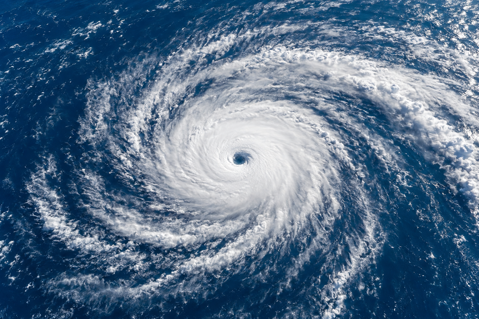
The Atlantic hurricane season runs from June 1 through November 30. Activity climbs through August and peaks around September 10. Where storms form shifts during those six months: early storms tend to come from the Gulf and western Caribbean, the long-track monsters of late summer come off Africa, and in October the action moves back to the Caribbean. That October pattern is a big reason South Florida stays on guard after Labor Day.
The season at a glance
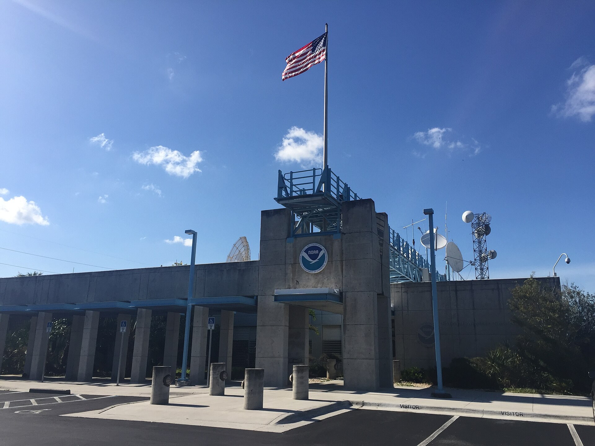
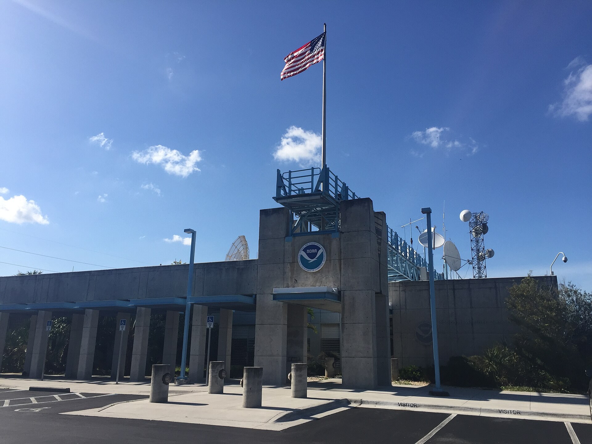
The National Hurricane Center (NHC), which operates on the Florida International University campus in western Miami-Dade, defines the official window. More than 97 percent of Atlantic tropical activity falls between June 1 and November 30. Storms outside those dates do happen, mostly in May. Because of that, the NHC now starts its routine Tropical Weather Outlooks on May 15.
NOAA bases its averages on 1991 to 2020 data. Here is what a “normal” season looks like:
| Measure | 1991–2020 average | Wind threshold |
|---|---|---|
| Named storms | 14 | 39 mph or higher |
| Hurricanes | 7 | 74 mph or higher |
| Major hurricanes (Category 3+) | 3 | 111 mph or higher |
| First named storm (average date) | June 20 | — |
| First hurricane (average date) | August 11 | — |
| First major hurricane (average date) | September 1 | — |
These averages went up when NOAA moved from the 1981–2010 baseline (12 named storms, 6 hurricanes). Part of that increase comes from better satellites and detection, since short-lived storms that once went unnoticed now get named.
An “average” season is a statistical middle, and real years swing well above and below it. One landfall in the wrong place makes a quiet season a bad one for us. Andrew struck Miami-Dade in 1992, a year with only seven named storms.
Quick steps: track an Atlantic storm
- Check the NHC Tropical Weather Outlook for the 2-day and 7-day odds.
- Note any “Invest” number, such as 92L, assigned to a disturbance.
- Read the full advisory once the system becomes a depression or storm.
- Look at the forecast cone, then read the wind and surge text below it.
- Check the NWS Miami local statement for county-level impacts.
- Look up your evacuation zone on your county emergency site.
- Follow your county’s alert system for shelter and evacuation orders.
How a tropical system grows from a cloud cluster
Every named storm starts as something smaller. The NHC watches several stages, and the label tells you a lot about the threat.
Tropical disturbance. This is an organized area of showers and thunderstorms that holds together for at least 24 hours. Most disturbances never develop. The Tropical Weather Outlook marks them with yellow (low), orange (medium) or red (high) areas, based on the chance of formation within two and seven days.
Invest. When forecasters want more data on a system, they label it an “investigation,” numbered 90 through 99 with an L for Atlantic. Labeling a system 94L doesn’t mean it will develop. It means the computer models are running on it.
Tropical depression. This is a closed circulation at the surface, with sustained winds of 38 mph or less. It gets a number, such as Tropical Depression Four.
Tropical storm. Once sustained winds reach 39 mph, the system takes the next name on the list. Most people searching for Atlantic tropical storms are tracking this stage. It matters because tropical storms bring serious rain. Many of South Florida’s worst floods came from storms that never reached hurricane strength.
Hurricane. At 74 mph sustained winds, the storm moves onto the Saffir-Simpson scale.
Subtropical storm. This is a hybrid. It has some tropical and some non-tropical traits, a broader wind field, and the strongest winds often sit far from the center. Subtropical storms often form over cooler water early or late in the season. They get names from the same list.
Potential Tropical Cyclone. The NHC can issue advisories, including watches and warnings, before a system has even formed if it threatens land within 48 hours. If you see “PTC” on the news, treat it like a storm.
The Saffir-Simpson scale
| Category | Sustained winds | What it typically means |
|---|---|---|
| 1 | 74–95 mph | Damage to roofs, gutters, trees; extended power outages likely |
| 2 | 96–110 mph | Major roof and siding damage; outages lasting days to weeks |
| 3 (major) | 111–129 mph | Devastating damage; electricity and water out for days to weeks |
| 4 (major) | 130–156 mph | Catastrophic damage; areas uninhabitable for weeks or months |
| 5 (major) | 157 mph or higher | High percentage of framed homes destroyed |
The scale measures wind only. It says nothing about storm surge or rainfall, and those two cause most hurricane deaths in the United States. A large Category 1 pushing water into Biscayne Bay or the Intracoastal can be more dangerous to a ground-floor apartment than a compact Category 3 passing offshore.
What a storm needs to form
Forecasters look for a few conditions coming together:
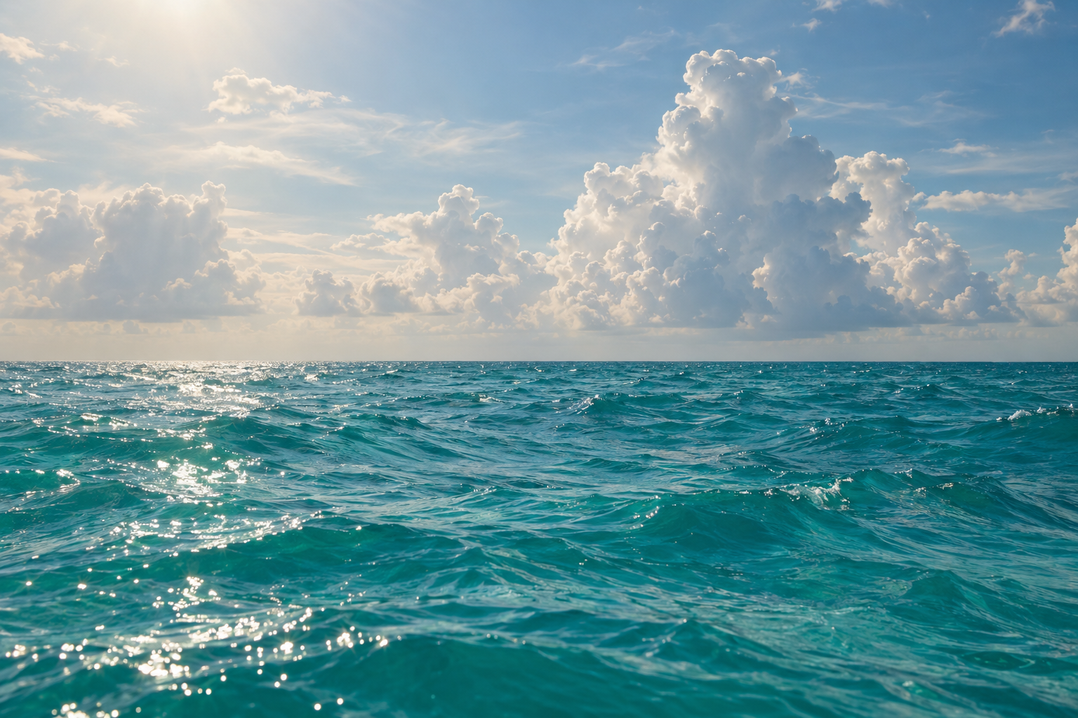
- Warm ocean water, generally at least about 80°F (26.5°C), deep enough that the storm doesn’t churn up cooler water and weaken itself.
- Moist air in the middle levels of the atmosphere.
- Low vertical wind shear, meaning winds that don’t change much in speed or direction with height. Strong shear tears storms apart.
- A starting disturbance, such as a tropical wave or an old front.
- Distance from the equator, roughly 5 degrees latitude or more, so the Earth’s spin can start the rotation.
Two big-picture factors shape each season. El Niño tends to boost wind shear over the Caribbean and Atlantic, which suppresses storms. La Niña tends to reduce shear and favor more activity. Early in the season, the Saharan Air Layer, a dry, dusty air mass blowing off Africa, often chokes off development. That dust is behind the hazy skies we sometimes see over Miami in June and July.
Where storms form, month by month
This is the part most people never learn, and it explains South Florida’s risk better than any single statistic.
| Month | Main formation areas | Typical South Florida concern |
|---|---|---|
| June | Gulf of Mexico, western Caribbean, off the Southeast coast | Heavy rain and flooding from weak, sloppy systems |
| July | Gulf, western Caribbean, a few farther east | Still mostly rainmakers; Saharan dust often limits storms |
| August | Main Development Region off Africa expands; Gulf and Bahamas | Long-track storms begin approaching from the east |
| September | Cape Verde region across to the Caribbean, Gulf and open Atlantic | Peak threat; major hurricanes from the east and southeast |
| October | Shifts back to western Caribbean and Gulf | Storms approaching from the south and southwest |
| November | Western Caribbean, open Atlantic subtropical systems | Low but real risk; late storms can still reach us |
June and July: close to home
Early-season storms usually spin up over warm water near land: the Gulf, the western Caribbean near Central America and the Yucatán, or off the Carolinas along old fronts. They are often lopsided and disorganized, with most of the rain displaced to one side. For Miami-Dade, Broward and Palm Beach, June systems mostly mean flooded streets and canals rather than wind damage.
Our article on Florida hurricane season dates covers how this early stretch compares with the peak and why the official start doesn’t mean danger begins June 1.
August and September: the Cape Verde engine
Starting in August, the Main Development Region comes alive. This band of the tropical Atlantic, roughly between 10 and 20 degrees north, runs from the coast of Africa to the Caribbean. Tropical waves roll off West Africa every few days. Over warm water and with low shear, some grow into what forecasters call Cape Verde hurricanes, named for the islands they pass near.
These storms have days of open ocean to strengthen, so they produce the majority of major hurricanes. According to NOAA’s research division, the August through October window accounts for about 78 percent of tropical storm days, 87 percent of minor hurricane days and 96 percent of major hurricane days.
For South Florida, Cape Verde storms approach from the east or southeast, often after crossing or skirting the Bahamas. Andrew (August 24, 1992) and Irma (September 10, 2017, Category 4 landfall in the Florida Keys) are the local benchmarks. The long track gives us more warning, which sometimes runs to a week or more of watching a storm cross the Atlantic. A distant storm can still turn unexpectedly, though, so the early warning is no reason to relax.
October: the Caribbean threat comes back
After the peak, African waves weaken and formation shifts west again. The western Caribbean, especially the waters between Nicaragua, Jamaica and the Cayman Islands, stays very warm into autumn. Storms forming there often get pulled north and northeast by passing fronts. That track points straight at Florida.
Wilma (October 24, 2005) came from that direction. It made landfall in southwest Florida and crossed the peninsula in hours, bringing hurricane-force winds to Broward and Palm Beach. Many residents had assumed the season was winding down. For us, the season stays active well into autumn. Our guide to Miami hurricane history goes deeper on which storms hit which parts of the metro.
November: winding down, not over
November storms are less common but not rare. Nicole made landfall near Vero Beach on November 10, 2022, and brought coastal erosion and flooding along the Palm Beach County shoreline. Late-season systems are often subtropical or form along stalled fronts. They can be large and wet even when their winds look modest.
How the forecasts and warnings work
Knowing the NHC’s routine makes it much easier to follow a storm without getting caught up in social media hype.
| Product | When it’s issued | What it tells you |
|---|---|---|
| Tropical Weather Outlook | 2 a.m., 8 a.m., 2 p.m., 8 p.m. EDT | 2-day and 7-day formation chances for disturbances |
| Public Advisory | 5 a.m., 11 a.m., 5 p.m., 11 p.m. EDT | Position, winds, movement, watches and warnings |
| Intermediate Advisory | Every 3 hours when watches/warnings are up | Updated position and intensity between full advisories |
| Forecast Cone | With each full advisory | Likely track of the center over 5 days |
| Local statements (NWS Miami) | During threats | County-specific wind, surge, rain and timing |
The key alert terms:
- Hurricane or Tropical Storm Watch: conditions are possible in the area, generally within 48 hours.
- Hurricane or Tropical Storm Warning: conditions are expected, generally within 36 hours.
- Storm Surge Watch or Warning: life-threatening rising water from the coast is possible or expected, usually on the same timelines.
One point gets misunderstood every season. The cone shows where the storm’s center will probably go, not how big the storm is. Historically the center stays inside the cone only about two-thirds of the time, and dangerous wind, surge and rain regularly spread far outside it. If you are just outside the cone, keep preparing.
Local tip
The NWS Miami office, which shares the FIU site with the NHC, puts out local statements that break impacts down for Miami-Dade, Broward and Palm Beach separately. These are much more useful than national TV graphics for knowing what to expect on your street.
How storms get their names
The World Meteorological Organization maintains six rotating lists of names for the Atlantic, so each list comes back every six years. Names alternate male and female and skip Q, U, X, Y and Z. When a storm is especially deadly or costly, its name is retired and replaced. Andrew, Wilma, Irma and Ian are all gone from the lists.
If a busy year runs through all 21 names, the WMO now uses a supplemental list of names. It used the Greek alphabet in 2005 and 2020, then stopped after 2021 because Greek-letter names caused confusion. Check the current year’s list on the NHC website before the season starts.
What this means for living in South Florida
The forecast is only half of it. Here is how the season plays out across our three counties.
Evacuation zones are about water, not wind. Miami-Dade, Broward and Palm Beach each map storm surge evacuation zones lettered A, B, C and beyond. These zones are based on where surge can reach, so you could live a mile inland and still be in a zone, especially near canals, rivers and the Intracoastal. Look up your address on your county emergency management site well before June. Zones can be revised, so check again each year.
Shelters open by order of the county. Each county announces general, pet-friendly and special-needs shelters only when a storm threatens, and the list depends on the storm. Special-needs shelters require pre-registration through your county, so register early.
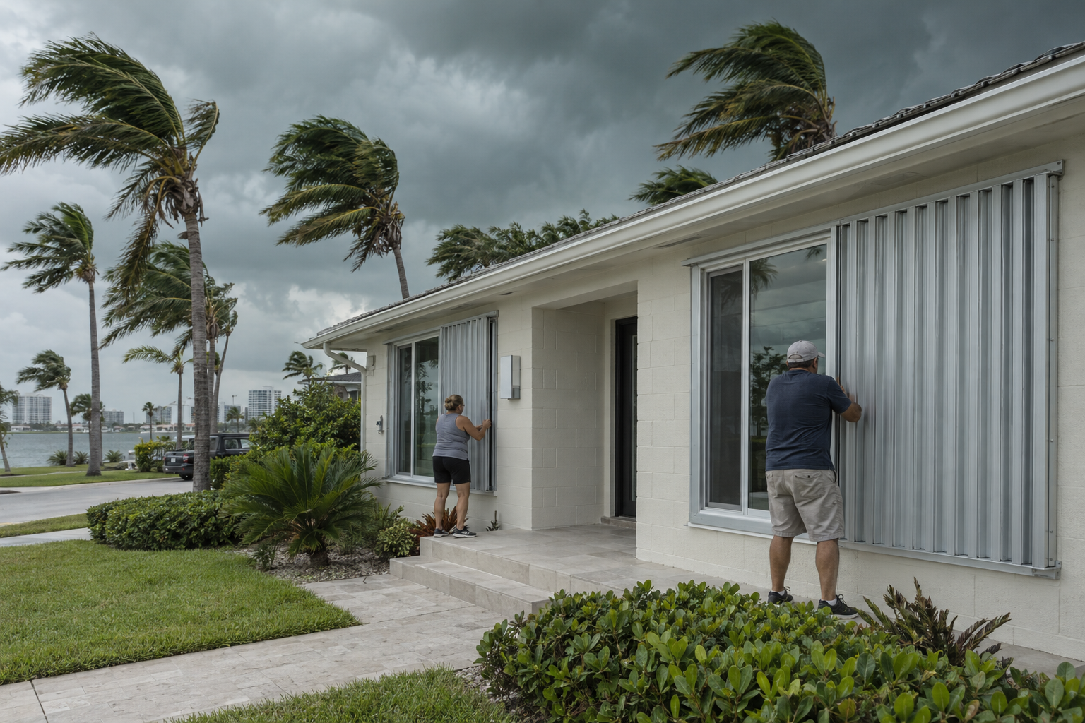
Power goes before the wind peaks. Tropical-storm-force winds can arrive many hours before the center. Most outages start then, and so does the cutoff for safe outdoor work. Finish shutters and loose-item cleanup before winds reach 39 mph, not when the eye is near.
Rain floods faster than people expect. Our flat terrain and high water table mean even a tropical storm can flood low streets across Fort Lauderdale, Hialeah or western Palm Beach County. Never drive through standing water. It can be deeper than it looks and may carry downed power lines.
For visitors planning a trip, our breakdown of West Palm Beach weather by month shows how much the peak months actually rain and what that means for a beach week.
What you need
- Your county evacuation zone and route, written down
- Water: one gallon per person per day, for at least 7 days
- Nonperishable food and a manual can opener for a week
- Two-week supply of prescriptions and copies of insurance documents
- Flashlights, batteries, a battery or hand-crank NOAA weather radio
- Cash, since card readers fail when power is out
- Full gas tank and charged power banks before winds arrive
- Shutters or panels, tested and labeled before June
Stocking up early beats the empty-shelf rush. Picking up shelf-stable items gradually through spring, including when our article on how the Publix BOGO deals work points to good weeks, spreads the cost. Florida has also offered sales tax breaks on certain hurricane supplies. The items and dates covered have changed between years, so confirm current rules with the Florida Department of Revenue before you shop.
Good to know
Never run a generator indoors, in a garage or near open windows. Carbon monoxide poisoning kills Floridians after nearly every major storm. After a storm, be wary of unlicensed contractors demanding cash upfront, and check licenses through the Florida DBPR before you hire.
Plans that run on the hurricane calendar
The peak of the season overlaps with plenty of everyday life here. The school year starts in August, fall sports and festivals ramp up, and NFL season opens in September. When you’re making plans around the Miami Dolphins schedule for early home games, it helps to know that teams, schools and venues announce storm-related changes through their own official channels, usually 24 to 72 hours ahead. Check those directly rather than relying on rumor.
The same goes for outdoor trips. Beach and boating conditions can turn dangerous from a storm hundreds of miles offshore. Swells and rip currents often reach Palm Beach and Broward beaches days before any clouds do, so check the NWS surf zone forecast before you swim.
When to get help
If your county orders an evacuation for your zone, leave, even if your home feels sturdy. Call 911 for life-threatening emergencies only. For shelters, special-needs registration or evacuation questions, use the hotline listed on your county emergency management website (Miami-Dade, Broward or Palm Beach). For insurance disputes after a storm, Florida’s Department of Financial Services runs a consumer helpline that can explain your options.
FAQ
When is the Atlantic hurricane season?
The official season runs June 1 through November 30. The climatological peak is around September 10, and the busiest stretch runs from mid-August through mid-October. The NHC begins routine outlooks on May 15 because pre-season storms have become common.
What month is worst for South Florida?
September is the statistical peak for the Atlantic overall, but October is a close second for South Florida specifically. Western Caribbean storms in October tend to track north toward the peninsula. Treat August through October as the high-risk window.
What’s the difference between a tropical storm and a hurricane?
Wind speed. A tropical storm has sustained winds of 39 to 73 mph and gets a name. It becomes a hurricane at 74 mph. Atlantic tropical storms can still bring dangerous flooding and tornadoes, so take warnings for them seriously.
How many hurricanes happen in an average season?
Based on 1991–2020 data, an average Atlantic season produces about 14 named storms, 7 hurricanes and 3 major hurricanes of Category 3 or stronger. Individual years vary widely depending on El Niño, La Niña and ocean temperatures.
What is the Main Development Region?
It is the band of the tropical Atlantic between Africa and the Caribbean, roughly 10 to 20 degrees north. Tropical waves from Africa grow into hurricanes there, mostly from August through early October. Most major hurricanes, including many that have hit Florida, start in this region.
Where can I find my evacuation zone?
Each county posts an address lookup on its emergency management website: Miami-Dade, Broward and Palm Beach. Zones are based on storm surge risk and can change, so recheck your address before each season.
Can hurricanes form outside the official season?
Yes. Storms formed before June 1 in seven straight years from 2015 through 2021, which is why the NHC now starts outlooks in mid-May. December storms are rarer but on record. Out-of-season systems are usually weaker, but they can still bring heavy rain to South Florida.