Miami sits in one of the most hurricane-exposed spots in the United States. The official season runs June 1 to November 30, and the most dangerous weeks usually fall between mid-August and mid-October. Your biggest decisions are knowing your evacuation zone, keeping a 7-day supply kit, and deciding now where you would go if officials order you out.
Why Miami Is So Exposed to Hurricanes
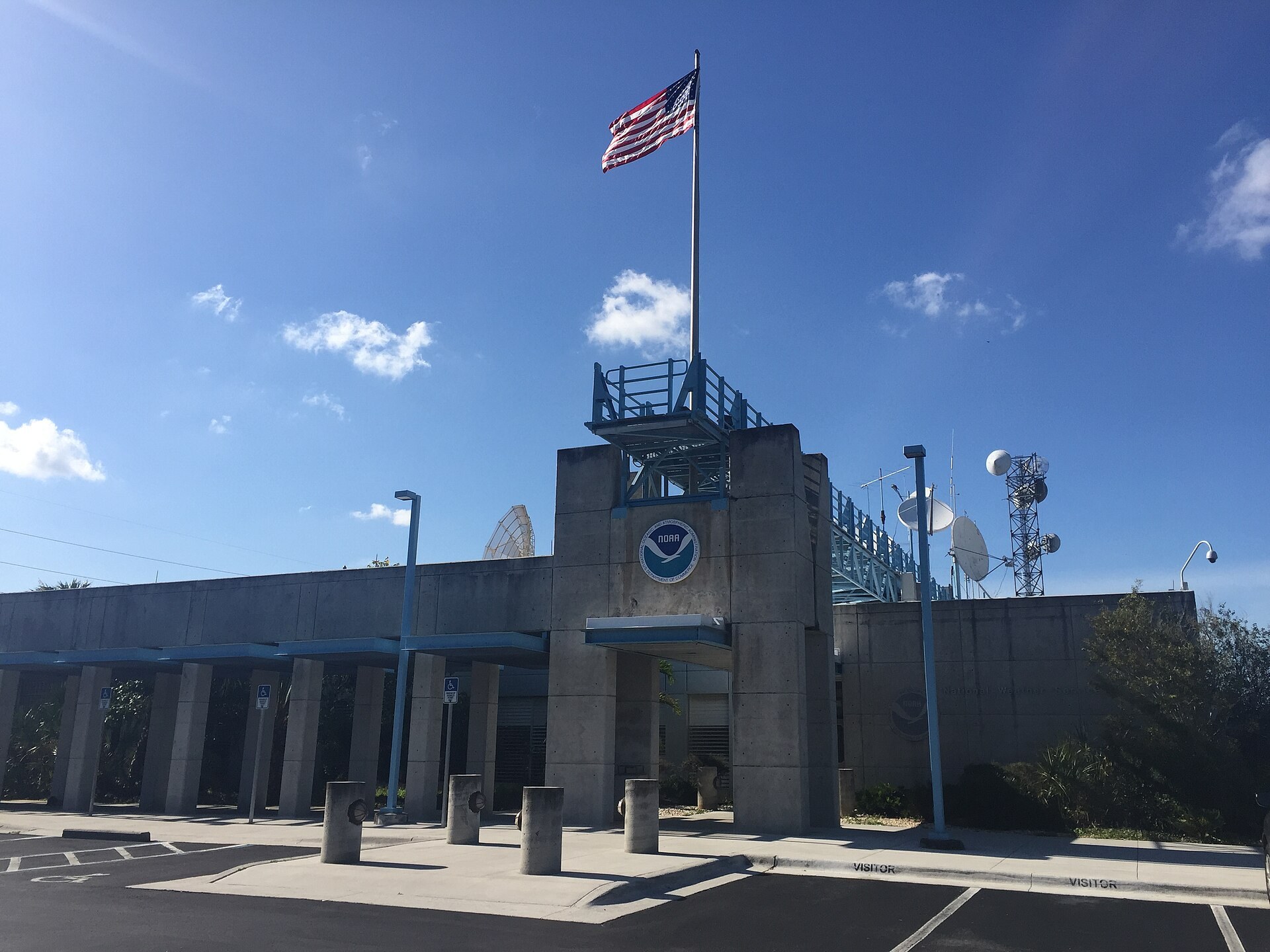
The National Hurricane Center (NHC), the NOAA office that tracks every tropical storm in the Atlantic, is based in Miami. It shares a building on the Florida International University campus in west Miami-Dade with the National Weather Service Miami-South Florida forecast office. They are here because this is where many storms arrive.
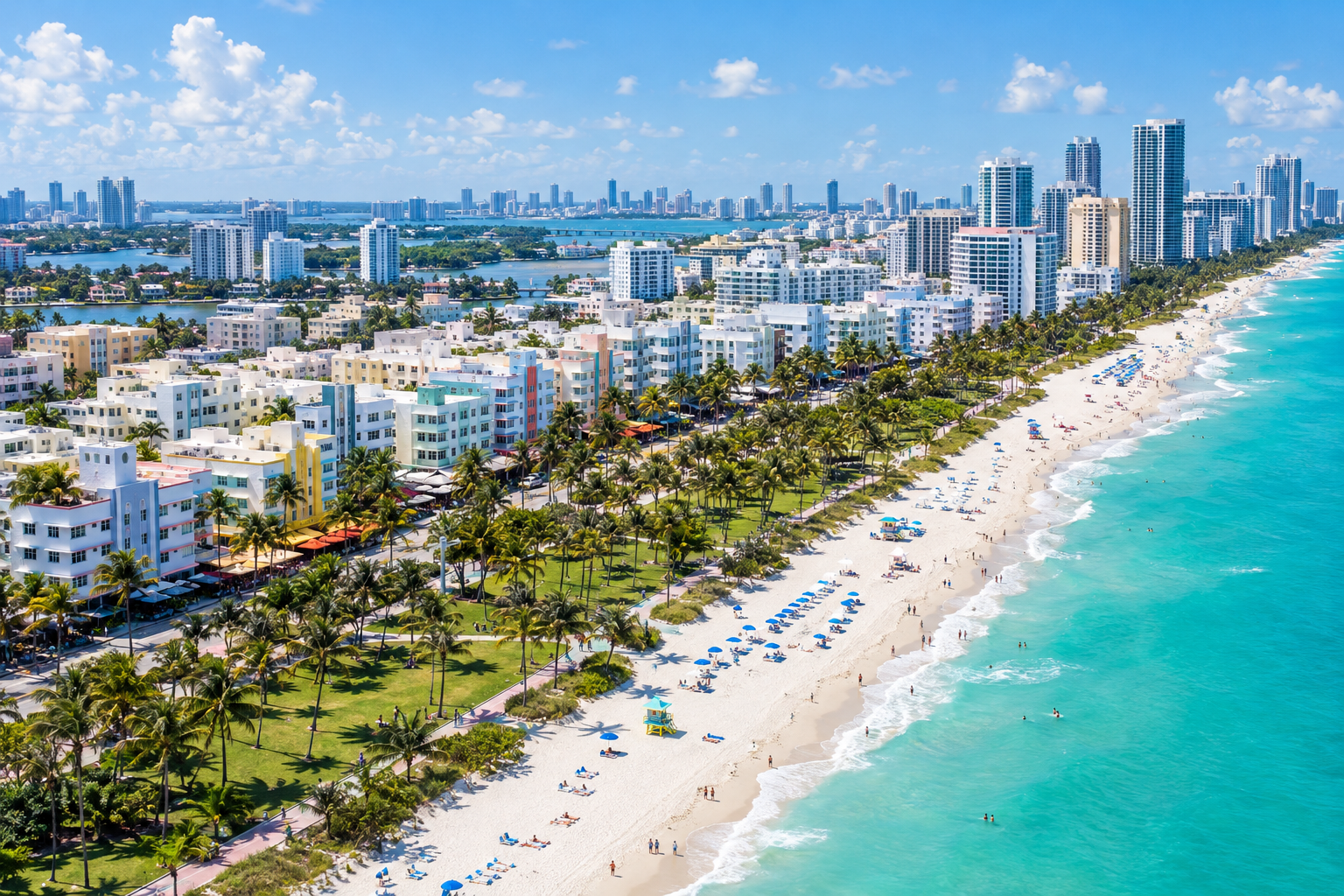
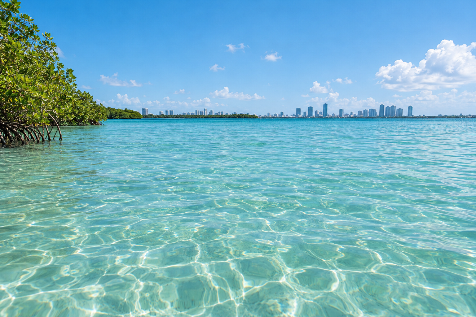
Geography is the main problem. Most of Miami-Dade, Broward and Palm Beach is low and flat, and large parts of the coast sit only a few feet above sea level. Biscayne Bay is shallow, so wind can push water inland quickly. The ground underneath is porous limestone, which lets seawater and rainwater rise up through the soil even where a sea wall holds.
The three counties also face storms from two directions. Systems come straight across the Atlantic from the east, and others cross the peninsula from the Gulf side. Hurricane Wilma did exactly that in 2005 and caught many people off guard.
For the full calendar of when storms form and when activity spikes, see our guide to Florida hurricane season dates.
The Storms That Shaped Miami
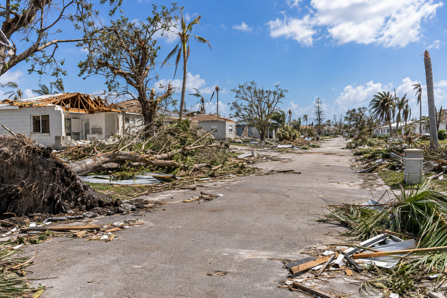
You do not need a history lesson to prepare. These storms still matter because they explain today’s building code, the evacuation zones and why locals take surge warnings seriously.
| Storm | Date | Strength at South Florida impact | What it changed |
|---|---|---|---|
| Great Miami Hurricane | Sept. 18, 1926 | Category 4 | Storm surge flooded Miami Beach and downtown; many died after going outside during the eye. It ended the 1920s land boom |
| Okeechobee Hurricane | Sept. 16-17, 1928 | Category 4, landfall in Palm Beach County | Lake Okeechobee flooding killed at least 2,500 people and led to the Herbert Hoover Dike |
| Labor Day Hurricane | Sept. 2, 1935 | Category 5, Florida Keys | Still the most intense U.S. landfall on record by pressure |
| Hurricane Andrew | Aug. 24, 1992 | Category 5, landfall near Homestead | Roughly $27 billion in damage at the time; tens of thousands of homes destroyed. It led directly to Florida’s tougher building code |
| Hurricane Katrina | Aug. 25, 2005 | Category 1, landfall near Hallandale Beach and Aventura | Heavy rain flooding in south Miami-Dade, days before its Louisiana landfall |
| Hurricane Wilma | Oct. 24, 2005 | Crossed from the Gulf; hurricane-force winds in Broward and Palm Beach | Over 3 million FPL customers lost power; broken high-rise windows in Fort Lauderdale and Miami |
| Hurricane Irma | Sept. 10, 2017 | Category 4 landfall in the Keys; hurricane-force gusts in Miami | Miami-Dade’s largest evacuation ever, with surge flooding in Brickell and widespread outages |
Andrew is the benchmark locals measure everything against. It was a compact storm, and the worst damage hit a band through Homestead, Cutler Bay and Kendall. A few miles north, damage was far lighter. That’s the lesson. A storm’s exact track and size matter more than its headline category.
Saffir-Simpson Hurricane Wind Scale
Forecasters rate hurricanes on the Saffir-Simpson scale using one-minute sustained winds. Categories 3 to 5 count as “major” hurricanes.
| Category | Sustained winds | Typical damage |
|---|---|---|
| Tropical depression | 38 mph or less | Rain and localized flooding |
| Tropical storm | 39-73 mph | Downed branches, scattered outages, flooding |
| 1 | 74-95 mph | Damage to roofs, gutters and siding; large branches snap |
| 2 | 96-110 mph | Major roof and siding damage; near-total power loss for days to weeks |
| 3 (major) | 111-129 mph | Well-built homes can lose roof decking; water and power out for days to weeks |
| 4 (major) | 130-156 mph | Severe damage to well-built homes; most trees and poles down; areas uninhabitable for weeks |
| 5 (major) | 157 mph or higher | A high percentage of framed homes destroyed; outages for weeks to months |
The scale measures wind only. It says nothing about storm surge, rain or tornadoes, and those cause most hurricane deaths. A Category 1 can push dangerous water into Biscayne Bay or dump enough rain to flood Hialeah and Sweetwater streets. Judge a storm by the surge and flood warnings for your address, not only by its category.
Commonly Used Hurricane Terms
These are the official NHC and National Weather Service alerts you’ll hear on local TV and see on your phone.
| Term | What it means | Typical lead time |
|---|---|---|
| Tropical storm watch | Tropical-storm-force winds (39-73 mph) are possible | About 48 hours |
| Tropical storm warning | Tropical-storm-force winds are expected | About 36 hours |
| Hurricane watch | Hurricane conditions are possible | About 48 hours before tropical-storm-force winds |
| Hurricane warning | Hurricane conditions are expected; finish preparations | About 36 hours before tropical-storm-force winds |
| Storm surge watch | Life-threatening rising water from the coast is possible | About 48 hours |
| Storm surge warning | Life-threatening surge is expected | About 36 hours |
| Potential tropical cyclone | A disturbance that isn’t a storm yet but threatens land soon | Issued so warnings can go out early |
| Extreme wind warning | Winds of 115 mph or more are imminent; shelter in an interior room now | Minutes to an hour |
Note the timing. A warning is issued about 36 hours before tropical-storm winds arrive, not before the hurricane itself. Shutters, ladders and outdoor work become dangerous once those winds start. In practice, a warning means you are almost out of time.
Reading the cone
The NHC “cone of uncertainty” shows where the storm’s center is likely to travel. Historically the center stays inside the cone about two-thirds of the time. The cone does not show the storm’s size. Hurricane-force winds and surge often reach far outside it, so being on the edge of the cone does not mean you are safe.
Risk Zones: Evacuation Zones vs. Flood Zones
South Florida residents confuse these two constantly. They are different maps that serve different purposes.
- Evacuation zones are based on storm surge risk. They tell you whether emergency managers may order you to leave.
- FEMA flood zones are based on rain and surge flood risk over time. They drive flood insurance requirements and premiums.
You can be outside an evacuation zone and still sit in a high-risk flood zone, or the other way around.
Miami-Dade storm surge evacuation zones
Miami-Dade divides the county into storm surge planning zones A through E. Zone A is the most vulnerable and is usually ordered out first. It includes barrier islands like Miami Beach and Key Biscayne, plus low areas along Biscayne Bay. Higher letters move inland and get called for stronger storms. During Irma, the county ordered out zones A and B and parts of C.
Look up your address with the “Know Your Zone” tool on Miami-Dade County’s hurricane page, or call 311. Mobile home residents should plan to leave for any evacuation order, whatever their zone.
Broward and Palm Beach
Broward and Palm Beach counties publish their own lettered evacuation maps through their emergency management offices. The statewide “Know Your Zone” lookup on FloridaDisaster.org, run by the Florida Division of Emergency Management, covers every county. Use your county’s site for the current map, because zones get redrawn as surge models improve.
| County | Where to check your zone | Help for medical or mobility needs |
|---|---|---|
| Miami-Dade | County hurricane page, “Know Your Zone,” or 311 | Emergency and Evacuation Assistance Program (register before a storm) |
| Broward | Broward County Emergency Management site | Special needs shelter registration through the county |
| Palm Beach | Palm Beach County Emergency Management site | Special needs registration through the county |
| All Florida counties | FloridaDisaster.org “Know Your Zone” | Florida special needs registry |
If you live in Palm Beach County, our West Palm Beach weather guide explains how storm season fits into the rest of the year there.
Flood zones and insurance
Check your property on FEMA’s Flood Map Service Center. Standard homeowners and renters policies do not cover flood. Flood coverage through the National Flood Insurance Program usually has a 30-day waiting period, so buying it when a storm appears is too late. Private flood policies exist too.
Good to know
Florida homeowners policies usually carry a separate hurricane deductible, often 2%, 5% or 10% of your dwelling coverage. On a $400,000 home, 5% means you pay the first $20,000. Insurers also stop writing or changing policies once a watch or warning is issued.
How to Prepare Before a Storm Threatens
Quick steps: get hurricane-ready
- Look up your evacuation zone and FEMA flood zone.
- Decide where you’d go: a friend inland, a hotel, or a shelter.
- Build a 7-day kit of water, food, medicine and power.
- Photograph your home and belongings for insurance.
- Fit and test shutters or confirm your impact windows.
- Register for special needs help if anyone needs it.
- Sign up for your county’s emergency alerts.
- Keep your gas tank at least half full all season.
Do most of this in May or early June. In the 48 hours before landfall, stores run out of water, plywood, batteries and gas. Lines at Publix and Home Depot stretch into parking lots.
Your Hurricane Supply Kit
Florida’s Division of Emergency Management recommends supplies for at least seven days, not the three days you’ll see in national checklists. After Andrew and Irma, parts of South Florida went far longer than a week without power.
What you need
- Water: 1 gallon per person per day, 7 days minimum
- Non-perishable food and a manual can opener
- 2-week supply of prescriptions and copies of the prescriptions
- Flashlights, batteries, battery or crank radio
- Power banks and car chargers for phones
- Cash in small bills (ATMs and card readers go down)
- Waterproof bag with IDs, insurance policies, deeds
- First aid kit, bug spray, sunscreen
- Pet food, carrier, leash and vaccination records
- Full propane tank or generator fuel, stored safely
Freeze water in zip bags or old containers a few days out. They keep the fridge cold longer, and you can drink them as they melt. Fill a bathtub with water for flushing toilets if water pressure drops.
Florida has offered sales tax breaks on hurricane supplies in recent years, and the rules have changed. Check the Florida Department of Revenue for which items currently qualify and when.
Protecting Your Home
Miami-Dade and Broward are both in the High-Velocity Hurricane Zone of the Florida Building Code, the strictest wind standard in the country. Shutters, windows, doors and roofing sold for use here must carry approval for the zone. Miami-Dade’s Notice of Acceptance is the product approval contractors and inspectors look for.
A few things make the biggest difference:
- Openings. Impact-rated windows and doors, or fitted shutters, keep wind from getting inside and lifting the roof. Pre-cut, labeled plywood is a last resort, not a plan.
- Garage doors. These are often the weakest point on a house. Check whether yours is wind-rated or needs a bracing kit.
- Roof connections. Hurricane straps or clips tie the roof to the walls. Homes built before Andrew often lack them, and a wind mitigation inspection can also cut your insurance premium.
- Yard. Trim trees early in the season, not during a watch, because county trash pickup halts before a storm. Bring in patio furniture, grills and potted plants.
Condo and high-rise residents should ask the building manager about elevator shutdowns, generator coverage for water pumps and balcony rules. Upper floors get stronger winds than ground level.
Local tip
Cut your plywood, number each panel by window, and store the hardware in a labeled bag with the panels. The neighbors who did this in June are the ones not standing in a hardware store line in September.
Stay Ahead of the Storm: Where to Get Information
Stick to official and proven local sources. Social media fills up fast with fake “spaghetti models” and invented landfall maps.
- National Hurricane Center. The 2-day and 7-day Tropical Weather Outlook shows areas to watch. Full advisories come out at 5 and 11 a.m. and p.m. Eastern, with intermediate updates every few hours when watches or warnings are up.
- NWS Miami-South Florida. The local forecast office issues the hurricane local statement for Miami-Dade, Broward, Palm Beach and nearby counties. It covers surge, rain, wind and tornado threats by area.
- Your county emergency management office. Evacuation orders, shelter openings, curfews and school closures come from here. Each county runs a free text and email alert system you can sign up for on its site.
- NOAA Weather Radio. It still works when cell towers and internet go down.
- Local TV and radio. South Florida stations run continuous coverage once a warning is issued.
Florida Power & Light runs an outage map for most of the region. Some cities, like Homestead and Lake Worth Beach, run their own utilities, so check yours.
Leaving Miami-Dade County: Evacuation
If you’re ordered out, go. Most hurricane deaths come from water, and surge zones cannot be safely ridden out.
The smartest evacuation is usually short. Move tens of miles inland to a friend’s house or a hotel outside the surge zone, not hundreds of miles up the Turnpike. During Irma, many South Floridians drove north, sat in gridlock, and ended up in the storm’s path anyway when it shifted toward the west coast.
If you do leave the region:
- Your main routes are I-95, Florida’s Turnpike, I-75 across Alligator Alley and U.S. 27.
- Leave early, ideally before a warning, and fill your tank well ahead of time.
- The state sometimes suspends tolls or opens highway shoulders during evacuations. Check the Florida Department of Transportation and FL511 for live conditions.
- Book a pet-friendly hotel before you go, because rooms fill up fast.
Public shelters open only when the county announces them, and the list changes each storm. They’re a last resort, with a cot-sized space and no frills. Bring your own bedding, food, medicine and chargers. Pet-friendly shelters exist in all three counties but may need advance registration and proof of vaccinations.
Getting Through the Storm at Home
If you’re outside evacuation zones and in a solid, wind-resistant building, sheltering in place is reasonable.
- Pick an interior room with no windows, like a closet, bathroom or hallway, on the lowest floor that won’t flood.
- Stay inside when the eye passes. The wind returns from the opposite direction, sometimes within minutes. This killed people in 1926.
- Keep phones charged and a radio on for tornado warnings, which are common in a storm’s outer bands.
- Don’t walk or drive through floodwater. Six inches of moving water can knock you down, and it can hide live wires and open drains.
After the Storm
The hours after a hurricane injure many people. Generators cause carbon monoxide poisoning every storm season. Run them outdoors only, at least 20 feet from doors and windows, never in a garage. Treat every downed line as live, and treat dark traffic signals as four-way stops.
Expect boil-water notices in some neighborhoods and curfews in hard-hit areas. Photograph damage before you clean up, and report claims quickly.
Fraud rises fast after storms. Hire only licensed contractors, and verify licenses with the Florida Department of Business and Professional Regulation. A Sunbiz search also confirms whether a company is a registered business entity. Never pay large deposits upfront, and be suspicious of anyone going door to door.
Beaches can stay hazardous for days. Expect strong rip currents and debris in the water. Onshore winds can also strand Portuguese man o’ war, stinging colonial siphonophores often mistaken for jellyfish, on the sand, so watch where you walk.
When to get help
Call 911 for life-threatening emergencies only, and use 311 in Miami-Dade or your county’s hotline for everything else. If your insurer delays or underpays a large claim, Florida’s Department of Financial Services offers free consumer help before you consider a licensed attorney or public adjuster.
FAQ
When is hurricane season in Miami?
The Atlantic season runs June 1 through November 30. Activity typically peaks from mid-August to mid-October, with September historically the busiest month for South Florida.
What was the worst hurricane to hit Miami?
Hurricane Andrew in 1992 caused the most damage in modern Miami-Dade history, striking near Homestead as a Category 5. The 1926 Great Miami Hurricane hit the city’s core more directly. Researchers have estimated it would be one of the costliest U.S. disasters if it struck today’s Miami.
How do I find my evacuation zone in Miami?
Use the “Know Your Zone” lookup on Miami-Dade County’s hurricane page, call 311, or use the statewide tool on FloridaDisaster.org. Broward and Palm Beach residents should check their county emergency management sites.
Should tourists cancel a Miami trip during hurricane season?
Not automatically. Most days in the season bring ordinary summer weather with afternoon storms. Buy travel insurance that covers named storms, watch the NHC outlook in the week before you travel, and follow any evacuation order. Visitors are often told to leave barrier islands like Miami Beach first.
Is Miami-Dade or Broward at higher risk?
Both face similar wind risk and sit in the High-Velocity Hurricane Zone. Your actual risk depends far more on your elevation, distance from the coast and building construction than on which county you live in.